Hellbourne
Melbourne, explained without the brochure.
Independent tracking of Melbourne infrastructure, transport, planning, development and urban change.
Follow projects, suburbs, stations and lines, with sources, historical status and the changes that matter.
Find a suburb, a railway line, a station, a council, or a project, and follow the links between the pages. A cost or a completion year is shown with the source and the date it was recorded.
- The Real Cost of the Suburban Rail Loop: What the Latest Audit Tells Us
- Why Melbourne Keeps Building Around Railway Stations
- Melbourne Airport Rail Is Finally Moving Again - What Stage 1 Actually Delivers
- Sunshine Is Becoming Melbourne's Western Transport Hub - Here Is What Is Actually Changing
- Melbourne Airport Rail
- Sunshine
- West Footscray
- Albion
Explore Melbourne
Start with a suburb, a project, or a line. Hellbourne connects the places, the infrastructure, and the plans that affect each other.
Suburbs
See the infrastructure, transport, and planning that affect each place.
Projects
Track what is proposed, under construction, cancelled, or never built.
Graveyard
Projects and lines that were cancelled, superseded, dismantled, or never built.
Stories
Explanations built from the same sourced pages.
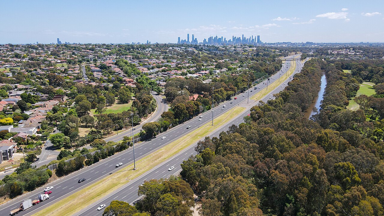
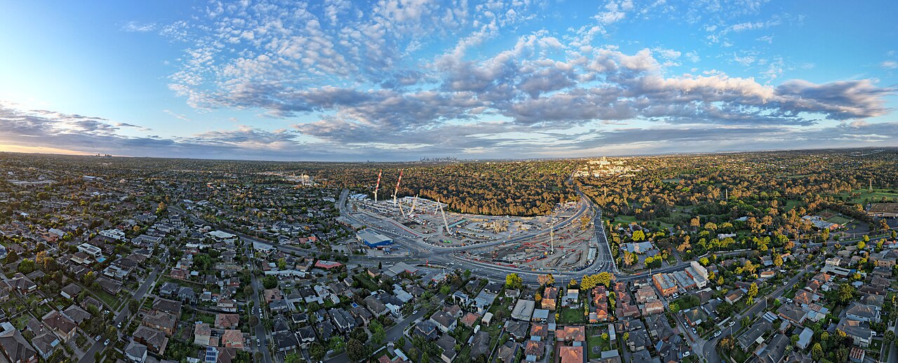
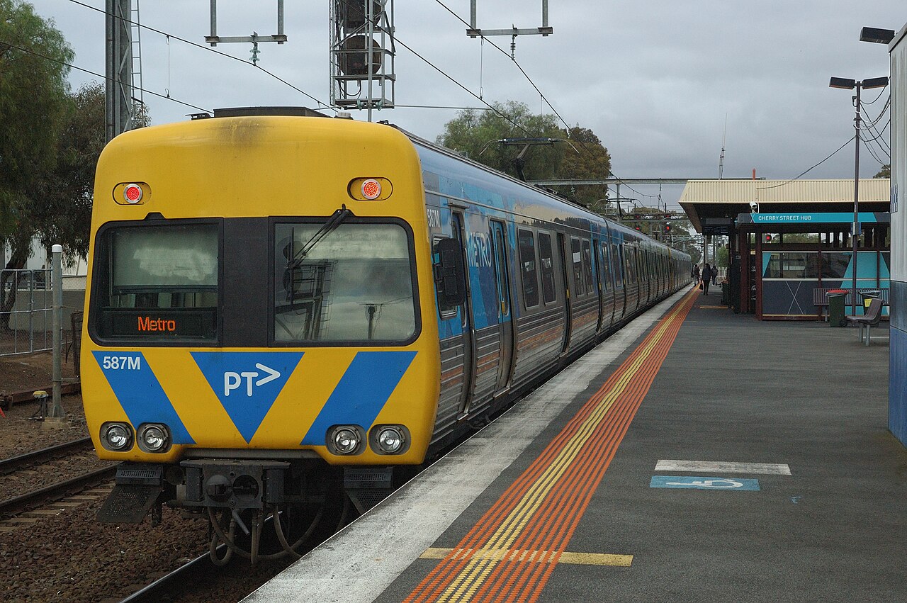
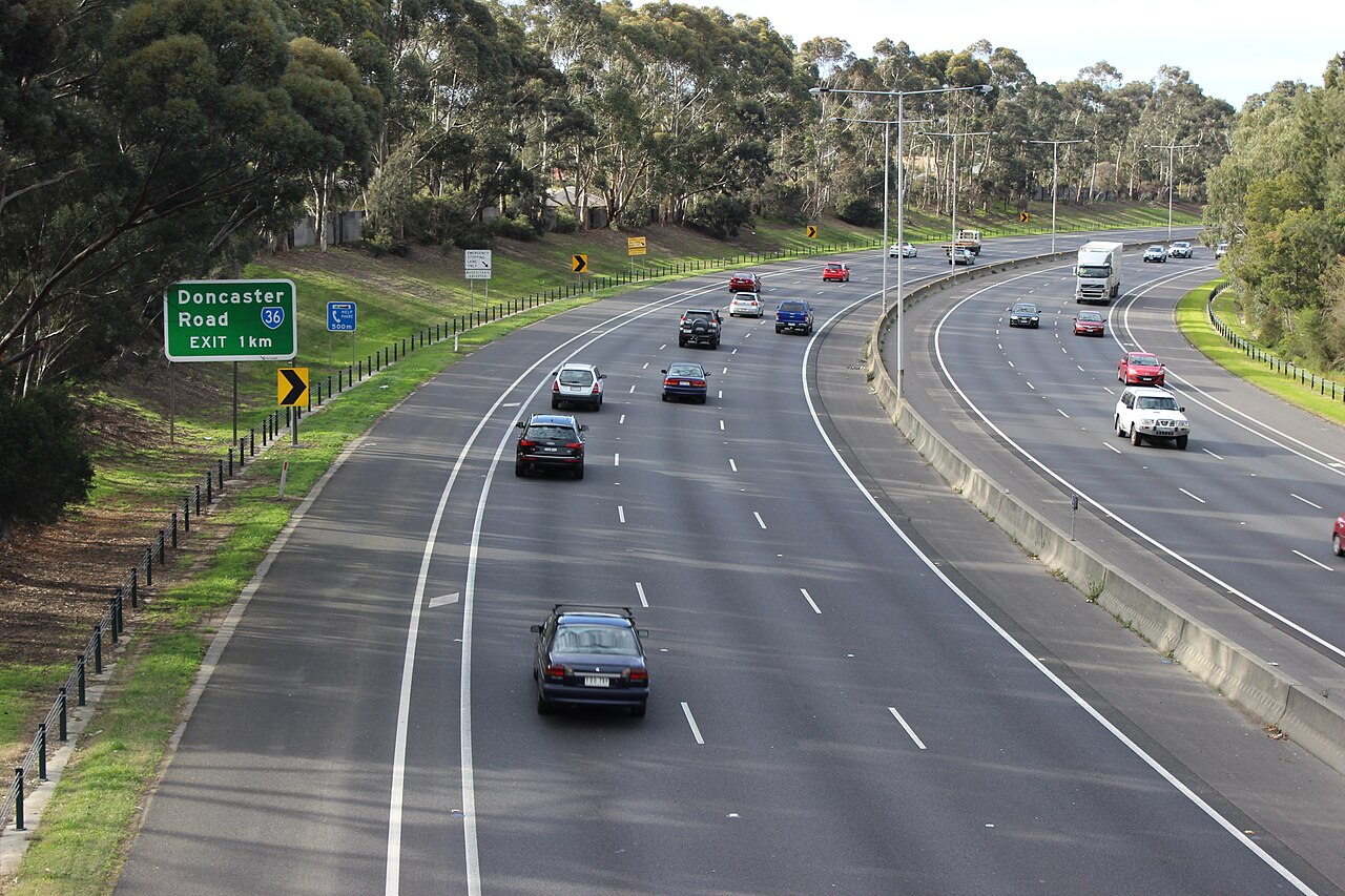
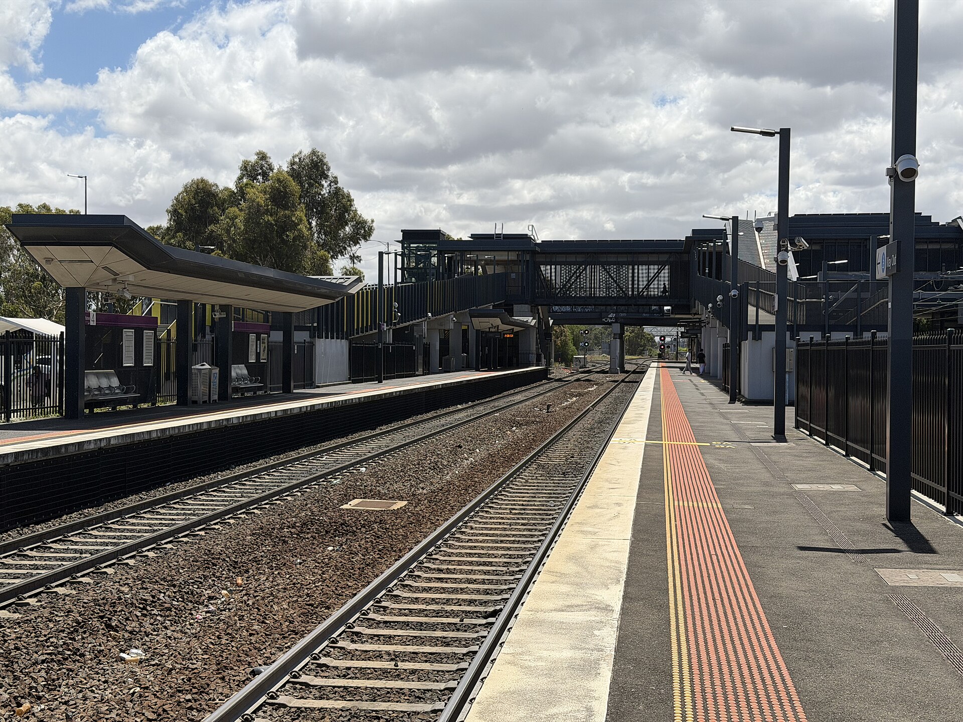
Photographs via Wikimedia Commons: Eastern Freeway and the skyline from Kew East, Philip Mallis, CC BY-SA 2.0; Comeng at Werribee station, Marko Ivic08, CC BY 4.0; Bulleen Bend on the Eastern Freeway, Philip Mallis, CC BY-SA 4.0; North East Link works in Bulleen, BobTanGo, CC BY 4.0; Sunshine station, platform 3, PEPSI697, CC BY-SA 4.0.


