City of Boroondara
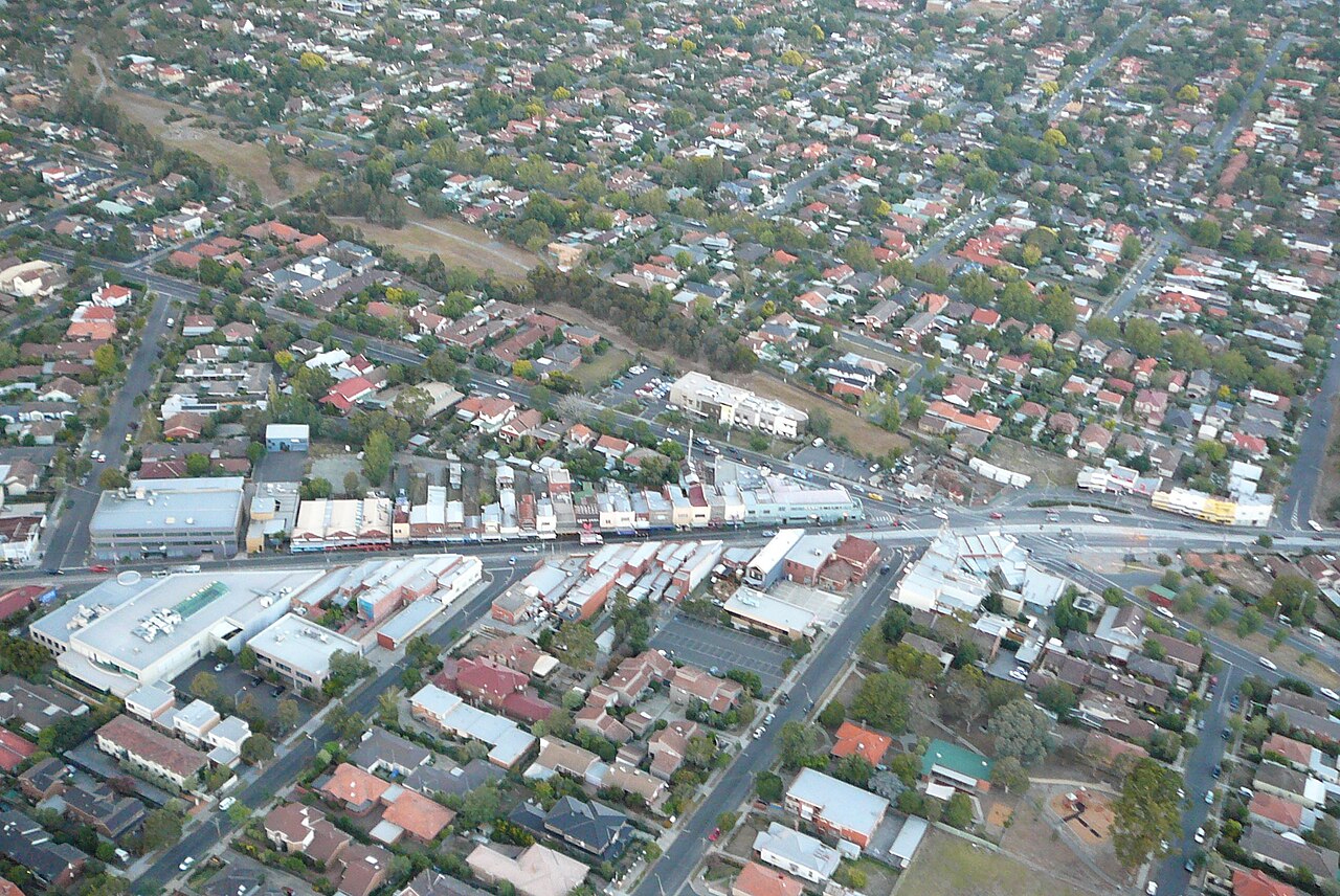
The City of Boroondara is the local council for Kew, in Melbourne’s inner east. Kew is where the Chandler Highway stub was left unfinished at the Eastern Freeway. The council’s office is in Camberwell. The municipality was formed in 1994 from the former cities of Hawthorn, Kew, and Camberwell. It is mostly houses, schools, and hospitals, bounded in large part by the Yarra River and Gardiners Creek.
At the 2021 Census the Australian Bureau of Statistics counted 167,900 people usually living in Boroondara. The median age was 40, against 38 for Victoria. There were 72,817 private dwellings, with 2.5 people per household on average. The median weekly household income was $2,376, the highest of the councils in this directory.
The council’s economic-development context report puts the area at 60 square kilometres. The council’s 2024–25 annual report gives an estimated residential population of 178,008 at 30 June 2024, a later figure than the Census count.
2021 Census
| People usually resident | 167,900 |
| Median age | 40 |
| Private dwellings | 72,817 |
| People per household | 2.5 |
| Median weekly household income | $2,376 |
The area and the 2024 population estimate are the council’s figures, not Census figures.
References
- 2021 Census QuickStats: Boroondara (LGA21110), Australian Bureau of Statistics. People, median age, dwellings, people per household, and median weekly household income. The Victorian median age on that page is 38.
- Economic Development Strategy context report, City of Boroondara. Area of 60 square kilometres, and the 1994 amalgamation of Hawthorn, Kew, and Camberwell.
- Council snapshot, annual report 2024–25, City of Boroondara. Estimated residential population of 178,008 at 30 June 2024.
- Know Your Council: Boroondara City Council, Victorian Government. Office at Camberwell.
- Photograph: High Street, Kew, from a balloon, 5 March 2007, Tangerineduel, CC BY-SA 4.0, via Wikimedia Commons.