Cardinia Shire
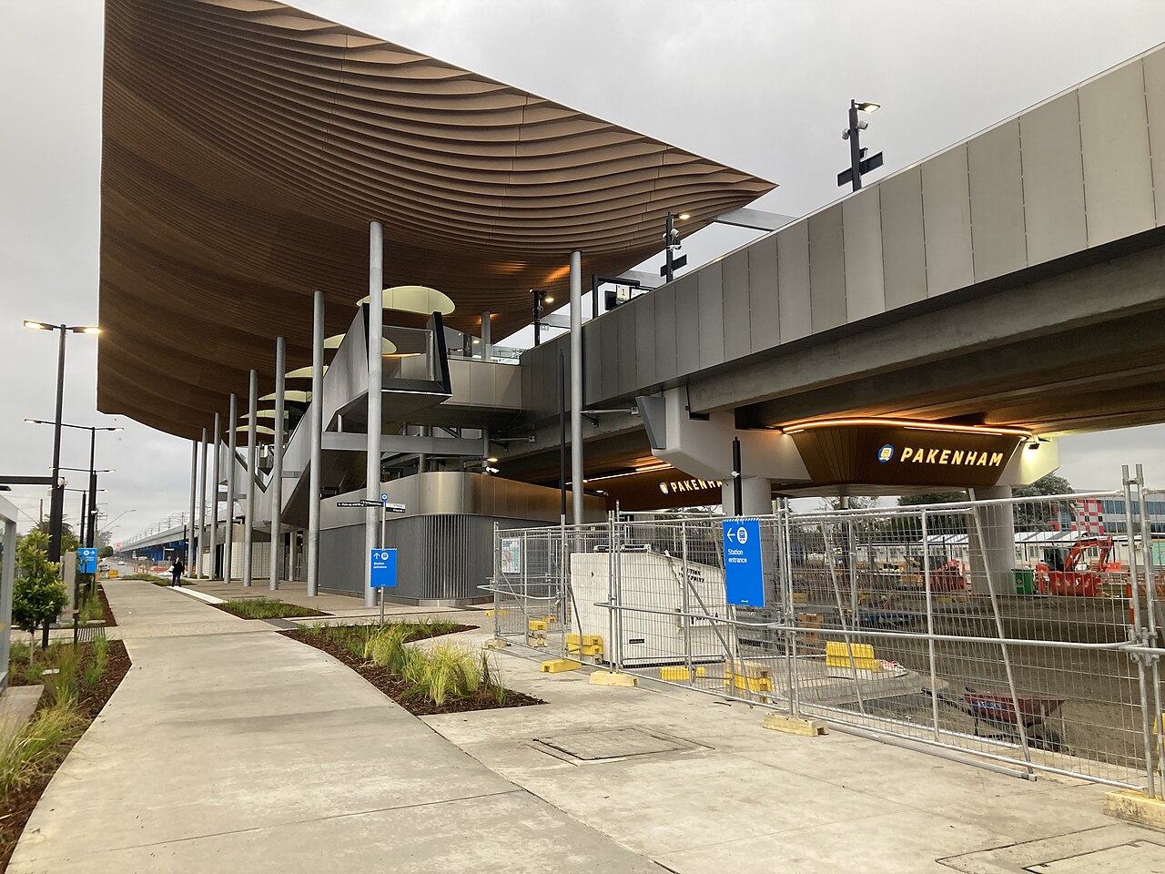
Cardinia Shire is the local council for Pakenham, at the end of the Pakenham line. The shire sits on Melbourne’s south-eastern edge. Its council office is in Officer. The growth strip runs along the Princes Highway from Beaconsfield to Pakenham. Beyond that the shire is still mostly rural, from the Dandenong Ranges foothills down to Western Port.
At the 2021 Census the Australian Bureau of Statistics counted 118,194 people usually living in Cardinia. The median age was 34, against 38 for Victoria. There were 43,511 private dwellings, with 2.8 people per household on average. The median weekly household income was $1,874.
The Victorian Electoral Commission’s comparison table, in the Casey electoral-structure report, records Cardinia at 1,283 square kilometres. The report warns that its area measurement can differ slightly from other sources.
2021 Census
| People usually resident | 118,194 |
| Median age | 34 |
| Private dwellings | 43,511 |
| People per household | 2.8 |
| Median weekly household income | $1,874 |
The area of 1,283 km² is from the electoral report, not the Census.
References
- 2021 Census QuickStats: Cardinia (LGA21450), Australian Bureau of Statistics. People, median age, dwellings, people per household, and median weekly household income. The Victorian median age on that page is 38.
- Casey City Council electoral structure review, preliminary report, Victorian Electoral Commission. The comparison table of interface councils lists Cardinia Shire at 1,283 km², beside the 2021 Census population.
- Know Your Council: Cardinia Shire Council, Victorian Government. Office at Officer, and the description of the growth corridor and the rural hinterland.
- Photograph: Pakenham station, June 2024, Marcnut1996, CC BY-SA 4.0, via Wikimedia Commons.