City of Kingston
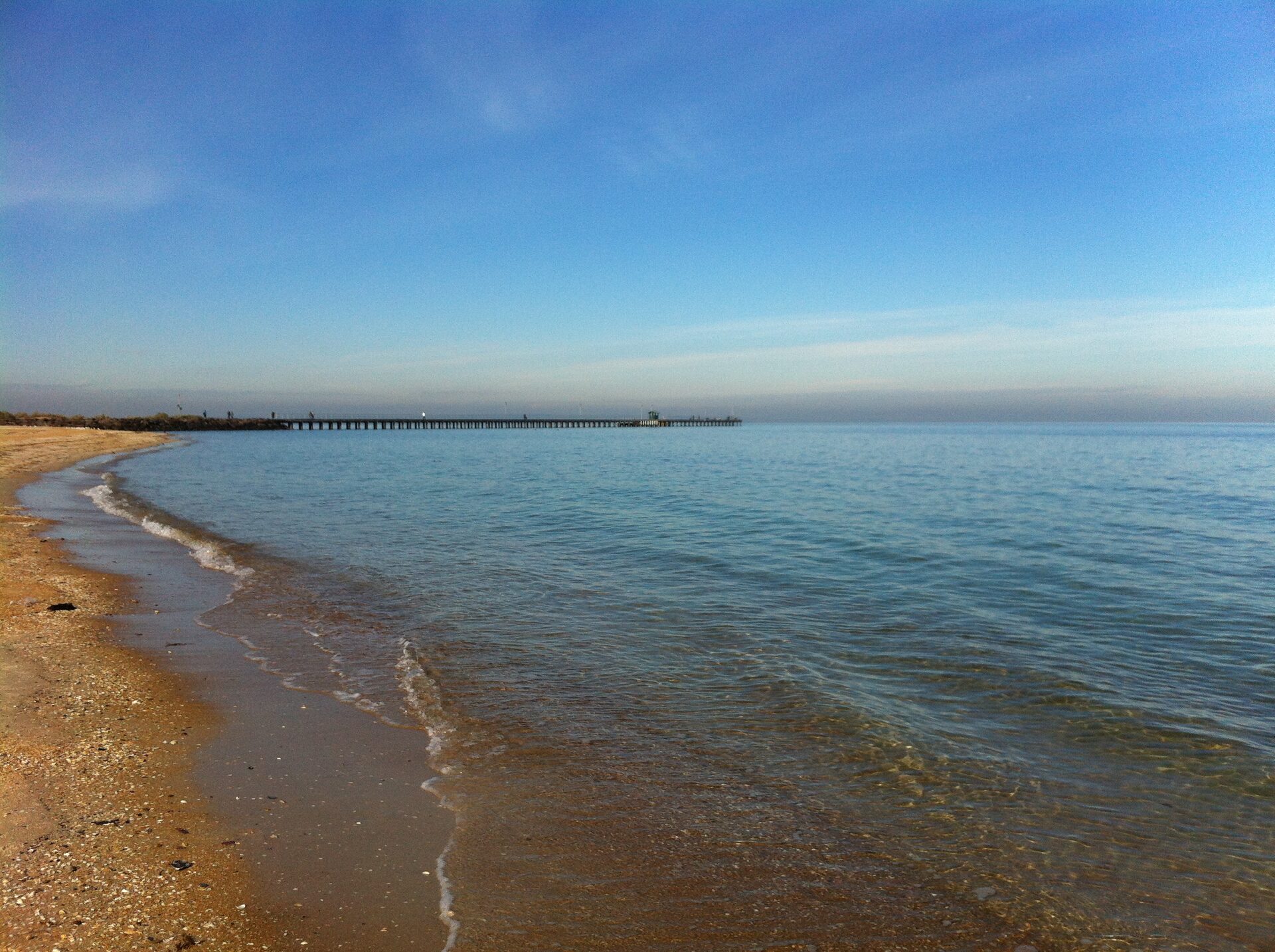
The City of Kingston is the local council for Cheltenham, in Melbourne’s south-east. Cheltenham station is on the Frankston line. Suburban Rail Loop East starts at Cheltenham with a new underground station. That station is not the Frankston line station, and it is not open. The council’s demographics page puts the municipality about 20 kilometres south-east of the central city, and at 91 square kilometres. Its customer-service address on that page is 1230 Nepean Highway, Cheltenham. The photograph is Mordialloc beach and pier in 2013.
At the 2021 Census the Australian Bureau of Statistics counted 158,129 people usually living in Kingston. The median age was 41, against 38 for Victoria. There were 67,560 private dwellings, with 2.5 people per household, the same as the Victorian figure. The median weekly household income was $1,914.
2021 Census
| People usually resident | 158,129 |
| Median age | 41 |
| Private dwellings | 67,560 |
| People per household | 2.5 |
| Median weekly household income | $1,914 |
These figures are for the local government area, not for Cheltenham alone. The land area is from the council’s demographics page, not from the Census.
References
- Demographics, City of Kingston. Land area of 91 square kilometres, the distance from the central city, and the Cheltenham customer-service address.
- 2021 Census QuickStats: Kingston (LGA23430), Australian Bureau of Statistics. People, median age, dwellings, people per household, and median weekly household income. The geography is the local government area. The Victorian median age on that page is 38, and the Victorian average household is 2.5 people.
- Photograph: Mordialloc beach and pier, Beckmc, CC BY-SA 3.0, via Wikimedia Commons.