Manningham City Council
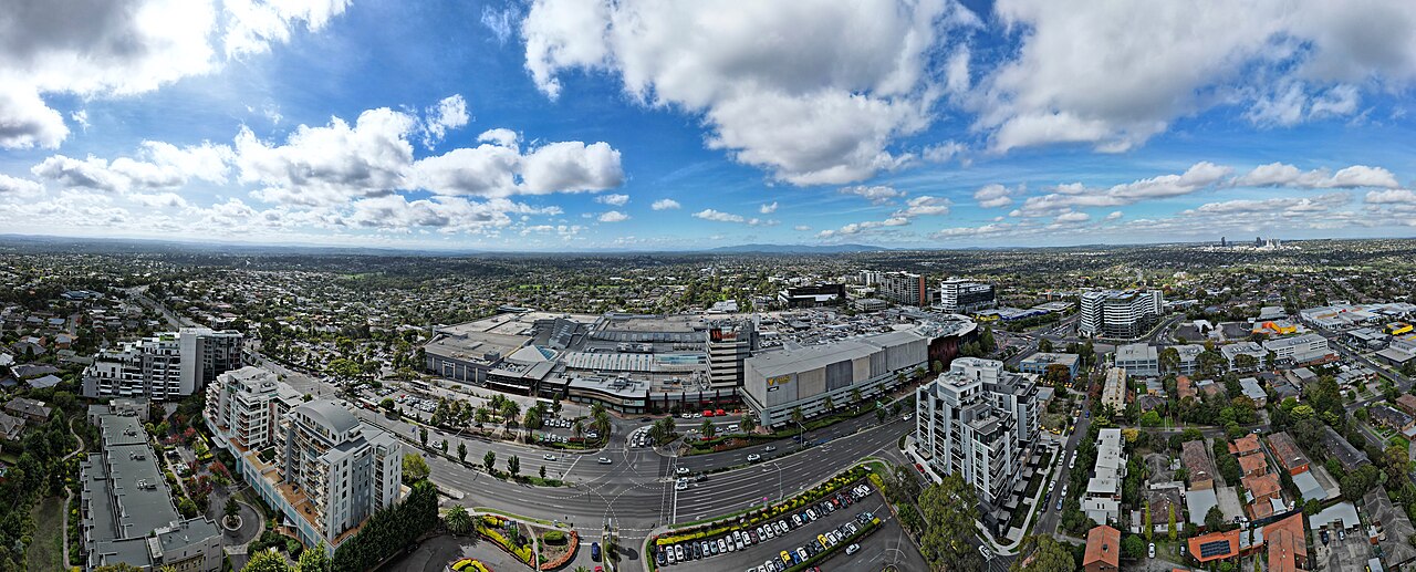
Manningham City Council is the local council for Doncaster and Bulleen, in Melbourne’s east. Both sit on the corridor of the Doncaster line, which was never built. The Eastern Freeway runs through Bulleen instead. North East Link is the road tunnel now under construction there. The F18 freeway from the 1969 plan was not built. The council’s office is on Doncaster Road in Doncaster. The municipality stretches from Bulleen, about 12 kilometres from the central city, out to Wonga Park. The Mullum Mullum Creek splits a more urban west from a greener east.
At the 2021 Census the Australian Bureau of Statistics counted 124,700 people usually living in Manningham. The median age was 43, older than the Victorian median of 38, and the oldest of the councils in this directory. There were 49,886 private dwellings, with 2.7 people per household on average. The median weekly household income was $1,920.
Manningham Council states the land area as 114 square kilometres, including the green wedge. The council’s 2025–26 budget gives a population of 129,514, a later figure than the Census count.
2021 Census
| People usually resident | 124,700 |
| Median age | 43 |
| Private dwellings | 49,886 |
| People per household | 2.7 |
| Median weekly household income | $1,920 |
The area and the budget population are the council’s figures, not Census figures.
References
- 2021 Census QuickStats: Manningham (LGA24210), Australian Bureau of Statistics. People, median age, dwellings, people per household, and median weekly household income. The Victorian median age on that page is 38.
- View our demographics, Manningham City Council. Land area of 114 square kilometres.
- Budget 2025–26, Manningham City Council. Population of 129,514, and the same 114 square kilometre area.
- Know Your Council: Manningham City Council, Victorian Government. Office at 699 Doncaster Road, and the span from Bulleen to Wonga Park.
- Photograph: Westfield Doncaster and Doncaster Hill, April 2023, Bob Tan, CC BY 4.0, via Wikimedia Commons.