City of Whitehorse
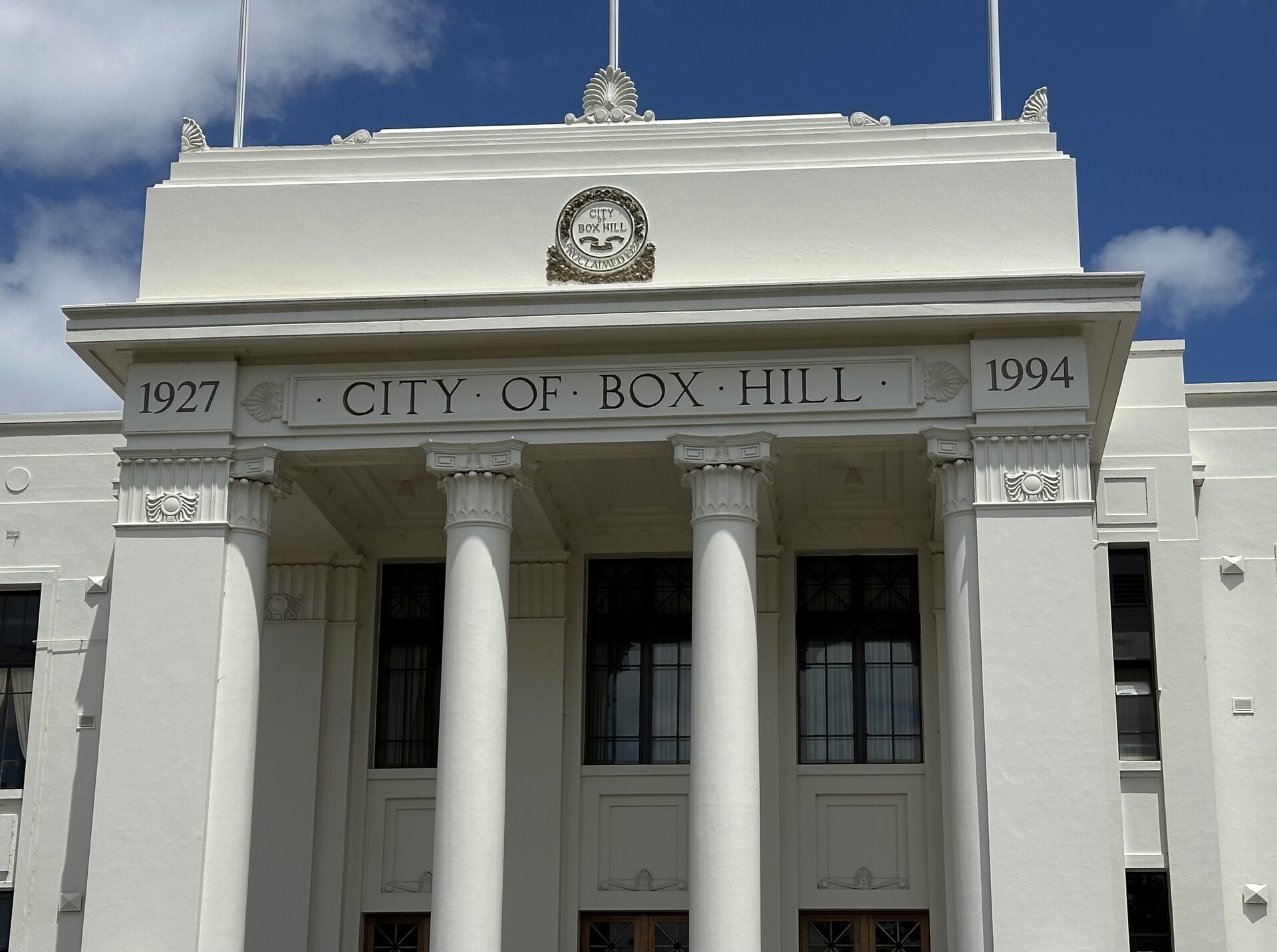
The City of Whitehorse is the local council for Box Hill and Burwood, in Melbourne’s east. The council’s location page puts the municipality 15 kilometres east of the central city, and at 64 square kilometres, and lists Burwood as shared with the City of Monash. The office address on that page is 379–399 Whitehorse Road, Nunawading. Box Hill station is on the Lilydale line and the Belgrave line. Burwood has no metropolitan railway station. Suburban Rail Loop East ends at Box Hill and includes a new underground station at Burwood. Neither underground station is open. The photograph is the former City of Box Hill town hall on 11 January 2026, not the Nunawading office.
At the 2021 Census the Australian Bureau of Statistics counted 169,346 people usually living in Whitehorse. The median age was 39, against 38 for Victoria. There were 71,521 private dwellings, with 2.6 people per household. The Victorian figure was 2.5. The median weekly household income was $1,841.
2021 Census
| People usually resident | 169,346 |
| Median age | 39 |
| Private dwellings | 71,521 |
| People per household | 2.6 |
| Median weekly household income | $1,841 |
These figures are for the local government area, not for Box Hill or Burwood alone. The land area is from the council’s location page, not from the Census.
References
- Location and suburbs, City of Whitehorse. Land area of 64 square kilometres, the distance from the central city, Burwood shared with the City of Monash, and the Nunawading office address.
- 2021 Census QuickStats: Whitehorse (LGA26980), Australian Bureau of Statistics. People, median age, dwellings, people per household, and median weekly household income. The geography is the local government area. The Victorian median age on that page is 38, and the Victorian average household is 2.5 people.
- Photograph: Box Hill Town Hall, 11 January 2026, Totallynotarandomalt69, CC BY 4.0, via Wikimedia Commons.