City of Whittlesea
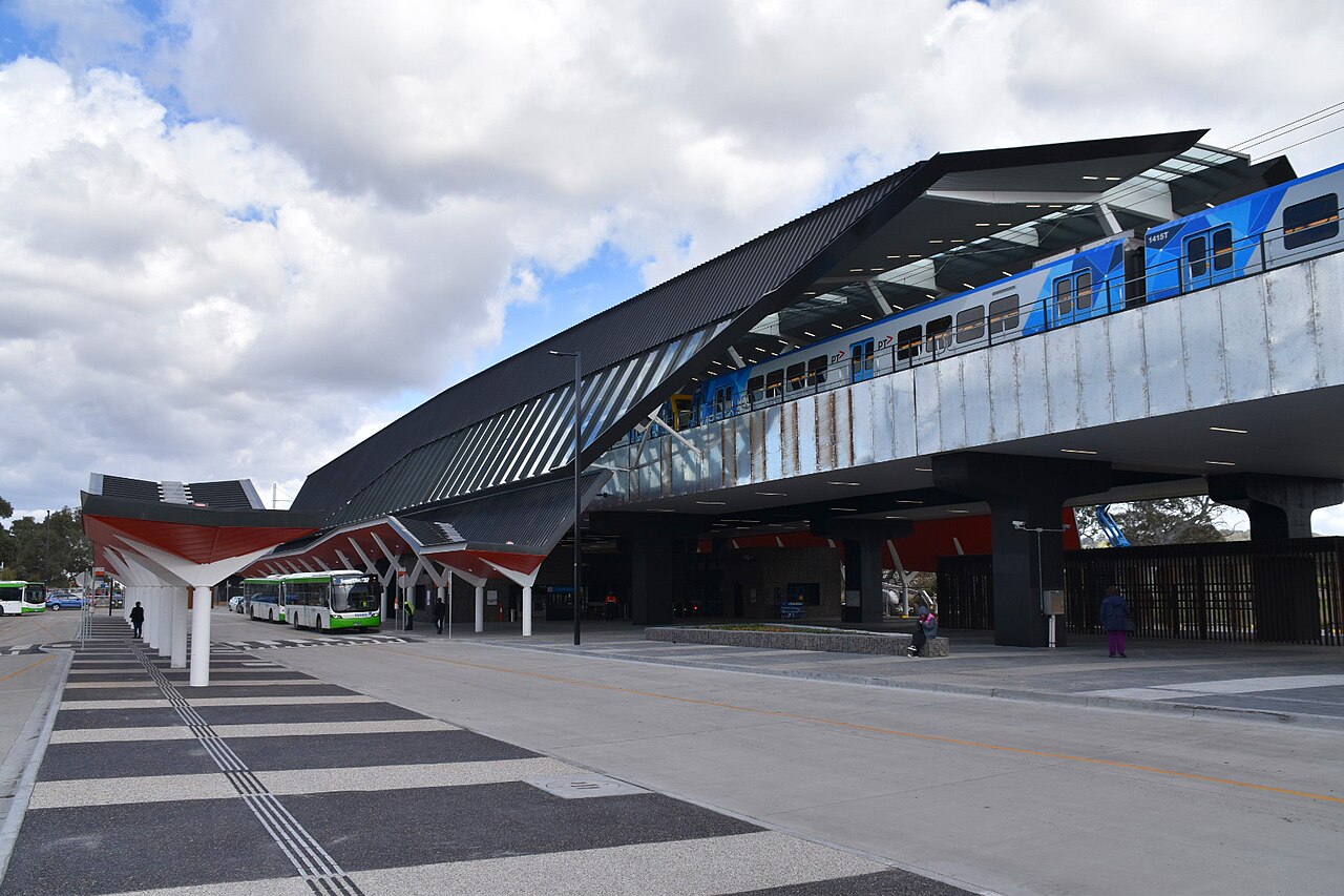
The City of Whittlesea is the local council for Mernda and Doreen, in Melbourne’s north. Mernda station is the end of the Mernda line. Doreen has no station of its own, and the suburb page points at Mernda. The council’s office is in South Morang. Most of the municipality is still rural. The urban area is the southern part: Epping, Lalor, Mill Park, South Morang, Mernda, and Doreen.
At the 2021 Census the Australian Bureau of Statistics counted 229,396 people usually living in Whittlesea. The median age was 35, against 38 for Victoria. There were 82,933 private dwellings, with 2.9 people per household on average. The median weekly household income was $1,768.
The Victorian Electoral Commission’s comparison table, in the Casey electoral-structure report, records Whittlesea at 490 square kilometres. The Victorian Government profile says the 2020 population was nearly 240,000 and was expected to pass 380,000 by 2040.
2021 Census
| People usually resident | 229,396 |
| Median age | 35 |
| Private dwellings | 82,933 |
| People per household | 2.9 |
| Median weekly household income | $1,768 |
The area of 490 km² is from the electoral report, not the Census.
References
- 2021 Census QuickStats: Whittlesea (LGA27070), Australian Bureau of Statistics. People, median age, dwellings, people per household, and median weekly household income. The Victorian median age on that page is 38.
- Casey City Council electoral structure review, preliminary report, Victorian Electoral Commission. The comparison table lists Whittlesea City Council at 490 km², beside the 2021 Census population of 229,396.
- Know Your Council: Whittlesea City Council, Victorian Government. Office at South Morang, the statement that more than 70 per cent of the city is rural, and the 2020 population and 2040 forecast.
- Photograph: Mernda railway station, Jarred Crowe, CC BY-SA 4.0, via Wikimedia Commons.