Yarra Ranges Council
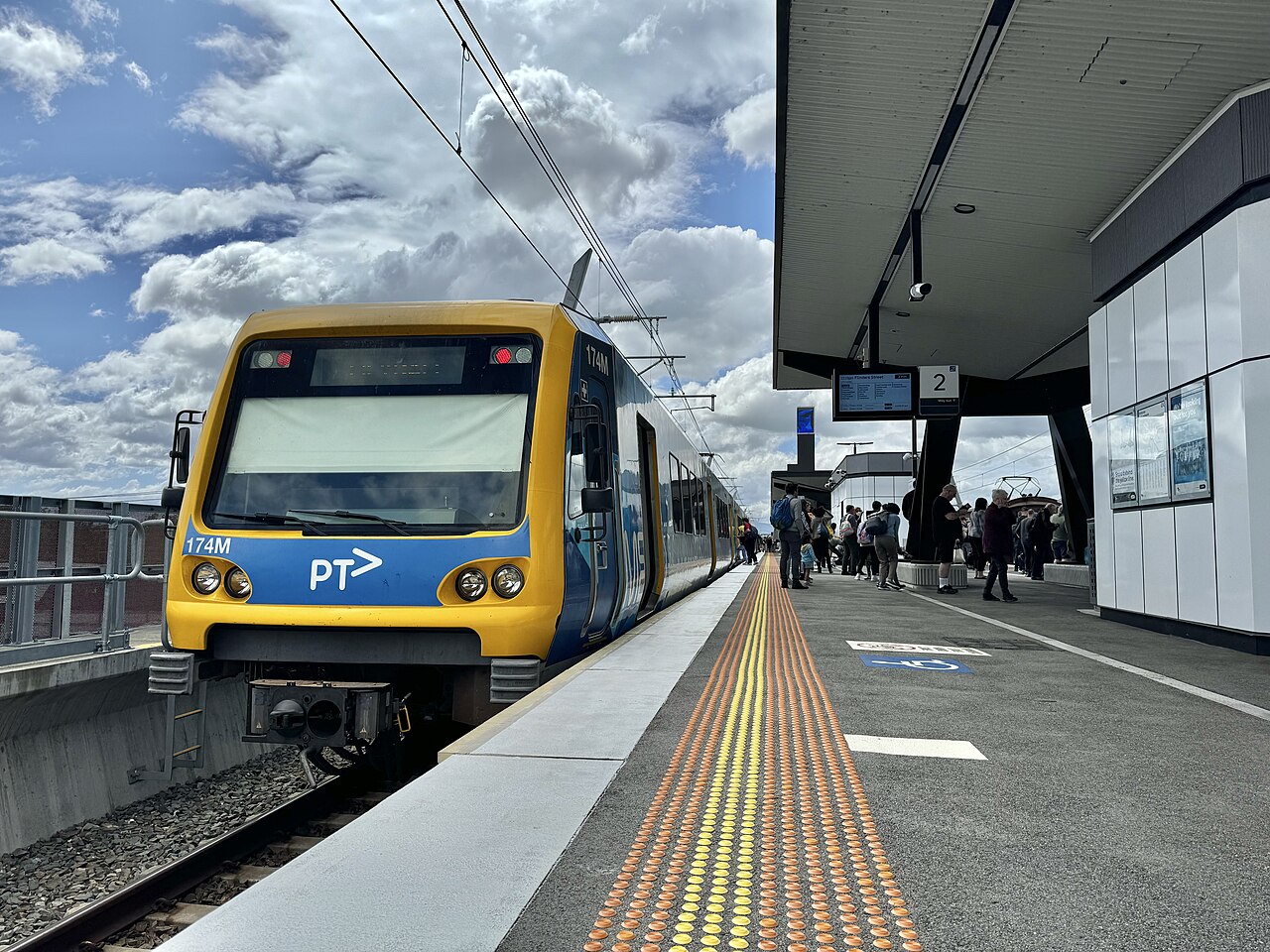
Yarra Ranges Council is the shire council for Lilydale, the end of the Lilydale line. The council office is in Lilydale. The shire runs from the outer eastern suburbs out through the Dandenong Ranges and the Upper Yarra Valley. The Victorian Government says about 70 per cent of the population lives in the urban west, on about 3 per cent of the land.
At the 2021 Census the Australian Bureau of Statistics counted 156,068 people usually living in Yarra Ranges. The median age was 40, the same as the Victorian median. There were 61,491 private dwellings, with 2.7 people per household on average. The median weekly household income was $1,881.
The council’s own advocacy statement puts the shire at 2,468 square kilometres, and calls it Melbourne’s largest metropolitan local government area.
2021 Census
| People usually resident | 156,068 |
| Median age | 40 |
| Private dwellings | 61,491 |
| People per household | 2.7 |
| Median weekly household income | $1,881 |
The area of 2,468 km² is the council’s figure, not a Census figure.
References
- 2021 Census QuickStats: Yarra Ranges (LGA27450), Australian Bureau of Statistics. People, median age, dwellings, people per household, and median weekly household income. The Victorian median age on that page is 38.
- Advocacy priorities 2025–2027, Yarra Ranges Council. Land area of 2,468 square kilometres.
- Know Your Council: Yarra Ranges Shire Council, Victorian Government. Office at Lilydale, and the split between the urban west and the rest of the shire.
- Photograph: X’Trapolis 174M at Lilydale railway station, 5 October 2024, PEPSI697, CC BY-SA 4.0, via Wikimedia Commons.